Get waypoints from GPS devices and export to various formats.
Manage your boat navigation system.
Virtual vision or "Fly On Map" helps to locate places in bad weather
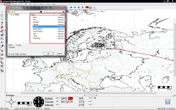
It allows you to view and query S-57 format ENC nautical charts.
This is a freeware application that allows you to interact with Google Earth.